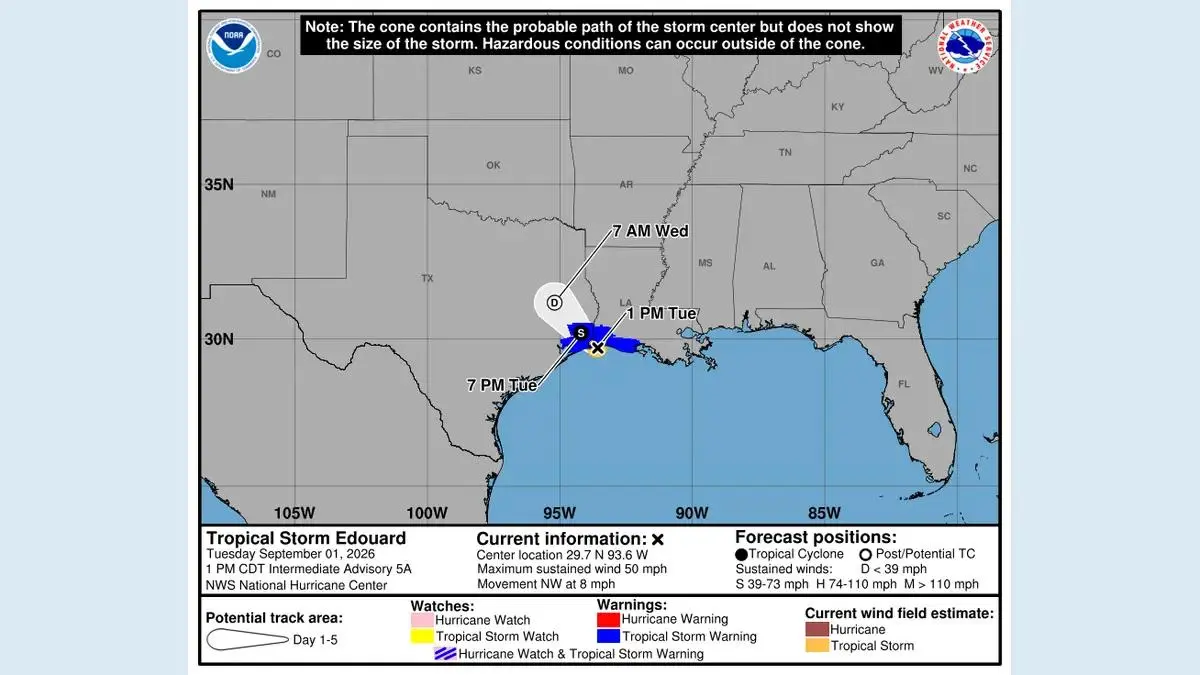
Hurricane Isaias made landfall near Destin, Florida, on Friday as a dangerous Category 2 storm, bringing destructive wind, heavy rain, flash-flood risk and storm surge to parts of the northern Gulf Coast. The storm had maximum sustained winds of 105 mph at landfall, according to the National Hurricane Center information cited by the Associated Press.
The immediate story is public safety, not the eventual damage total. Early photographs and isolated reports cannot establish the full impact while roads are flooded, power is out and emergency crews are still assessing communities.
What is confirmed
The Associated Press landfall report places landfall near Destin and reports impacts across the Florida Panhandle and southern Alabama. NOAA's Isaias information hub gathers the latest forecast, satellite imagery and National Weather Service warnings in one place.
Isaias weakened after coming ashore, but a lower wind category does not mean the broader emergency is over. Floodwater may continue rising after the centre passes, and wind damage can make travel hazardous for hours.
Where residents should get updates
People in affected areas should use local National Weather Service offices, emergency-management alerts and county or city instructions. The National Hurricane Center remains the authoritative source for the storm track and official watches and warnings.
Social posts showing one neighbourhood may be genuine yet still fail to represent conditions a few kilometres away. Exact rainfall, surge and outage figures should be attributed to the agency or utility reporting them, especially while the event is changing.
NOAA's GOES East article explains how the geostationary satellite has monitored the storm's structure and movement. Satellite imagery helps forecasters, but it does not replace local evacuation or shelter guidance.
Travel and power risks after landfall
Drivers should treat flooded roads as closed. Water depth is difficult to judge at night, road surfaces can be damaged underneath and moving water can displace vehicles. Downed power lines must be assumed live.
Residents using generators should keep them outdoors and well away from doors, windows and vents. Carbon-monoxide poisoning is a recurring post-storm hazard even after the wind has eased.
MatchUpWorld's news page will carry major confirmed developments. The world section covers international consequences when storms disrupt transport, energy or supply chains.
What is not yet known
A reliable total for fatalities, structural damage and economic losses will take time. Insurance estimates issued during the storm are models, not verified counts. Claims about record surge or unprecedented rainfall also require measurements and historical comparison.
The responsible reading of the first 24 hours is therefore narrow: Isaias made a dangerous Gulf Coast landfall; multiple hazards continued inland; official local instructions remained the priority. Later assessments can explain the full scale without turning preliminary information into certainty.
Recovery information also needs the same source discipline as the forecast. Shelter locations, boil-water notices, curfews and re-entry rules should come from local authorities. Donation requests should be checked against established relief organisations because fraudulent appeals often appear while a disaster is still unfolding.
People outside the impact zone can help by keeping emergency phone lines clear and sharing original agency links rather than cropped screenshots. A time stamp and location are essential: a valid warning for one county may be irrelevant or misleading in another.
Sources: NOAA Isaias hub, NOAA satellite monitoring, Associated Press landfall report, National Hurricane Center.