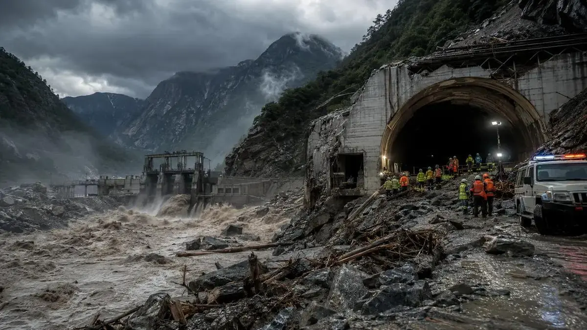
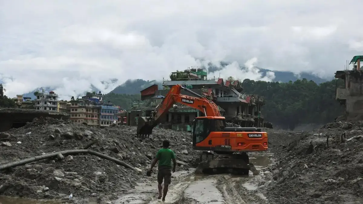
A glacial lake outburst flood, usually shortened to GLOF, begins when water stored beside, beneath or in front of a glacier escapes suddenly. The event may start high in a remote mountain valley, but its effects can travel far downstream within hours. Water can pick up rock, ice, soil and trees, turning an initial flood into a fast-moving debris flow capable of damaging roads, bridges, hydropower facilities and settlements.
GLOFs are not ordinary river floods. Their danger comes from the combination of a large stored volume, a sudden release and steep terrain. Understanding the chain of events is the first step toward reducing the risk.
How a glacial lake forms
Glaciers move slowly and reshape the landscape beneath them. When a glacier retreats, meltwater can collect in a depression left behind. Some lakes are held back by bedrock, while others are contained by a moraine, a ridge of loose rock and sediment deposited by the glacier.
A moraine can appear solid but may contain buried ice, weak layers and channels through which water can seep. As a lake grows, the pressure on this natural barrier increases. A failure does not always mean the entire dam disappears at once. A small breach can deepen rapidly as escaping water erodes more material, widening the opening and increasing the flow.
What can trigger an outburst
There is no single trigger for every GLOF. Several processes can begin or accelerate a failure:
- An avalanche, landslide or falling ice enters the lake and creates a displacement wave.
- Prolonged rain or rapid snowmelt raises the lake level.
- Ice buried inside a moraine melts and weakens the barrier.
- Water seeps through the dam and gradually enlarges an internal channel.
- An earthquake destabilises slopes or the material holding the lake.
The trigger matters, but so does the condition of the whole lake system. A stable lake may absorb a small rockfall, while a lake already near its limit may respond very differently.
Why the flood becomes so destructive
Mountain valleys funnel water into narrow channels. Gravity accelerates the flow, and debris increases its density and impact. A GLOF can therefore behave less like clear water spreading across a plain and more like a moving wall of mud, boulders and broken vegetation.
Communities far from the lake may have little visual warning. River gauges can rise rapidly, and roads or communication lines may fail before official alerts reach every location. The timing can be especially dangerous at night, when people are less likely to notice changes in the river.
The flood can also produce a cascade of failures. A damaged bridge may block a river temporarily, creating another surge when the blockage gives way. Sediment can reduce reservoir capacity, interrupt drinking-water systems and alter the river channel long after the first wave passes.
Is climate change increasing GLOF risk?
Warming does not make every glacial lake fail, but it changes the conditions in which many lakes develop. Retreating glaciers can create or enlarge lakes, while thawing permafrost can make surrounding slopes less stable. More exposed rock and ice can increase the chance of material falling into a lake.
Risk, however, is not determined by climate alone. Exposure is equally important. New roads, tourism facilities, power projects and growing settlements can place more people and assets in downstream paths. A relatively small lake may present a serious local threat if vulnerable infrastructure sits directly below it.
How authorities monitor dangerous lakes
Risk assessment combines satellite imagery, field surveys and downstream planning. Satellite observations help specialists track changes in lake area, glacier position and nearby slopes. Field teams can measure water depth, inspect the dam and install instruments where access is possible.
India's national GLOF risk work, for example, uses a dynamic inventory of Himalayan glacial lakes and identifies high-risk sites for closer observation. Monitoring equipment may include automatic weather stations, water-level sensors and cameras. Drones can provide detailed views of terrain that is difficult or dangerous to reach on foot.
No instrument removes the danger. The purpose is to spot unusual change early enough to act.
What an early-warning system needs
An effective warning system is more than a siren. It needs reliable detection, a clear decision process, fast communication and a community that knows what to do next. Alerts should reach people through several channels because power or mobile networks may fail.
Evacuation routes must lead away from the river corridor and be understood before an emergency. Regular drills, visible signs and locally trusted messengers can make technical warnings useful in practice. The United Nations Office for Disaster Risk Reduction has reported that countries with more comprehensive multi-hazard early-warning coverage experience much lower disaster mortality.
Can a dangerous lake be made safer?
Engineers may lower a lake gradually through controlled drainage, siphons or reinforced outlets. Some sites can be strengthened with protective structures, while others are too remote or unstable for large construction. In those cases, monitoring, land-use controls and evacuation planning become even more important.
The central lesson is simple: a GLOF is a chain, not a single moment. The lake, its barrier, surrounding slopes, downstream terrain and the readiness of communities all determine whether a natural release becomes a disaster.
For more clear background on climate and infrastructure risks, visit the Explainers section.