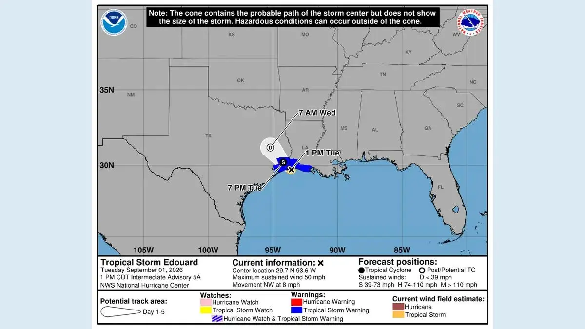
Tropical Storm Trudy is strengthening over the eastern Pacific south of Mexico, and the US National Hurricane Center expects it to become a hurricane. At the 9 p.m. CST advisory on October 13, Trudy had maximum sustained winds of 45 mph and was about 440 miles south-southeast of Acapulco, moving northwest at 10 mph.
No coastal watch or warning was in effect in that advisory. The NHC nevertheless told interests in southwestern and west-central Mexico to monitor the storm because watches could become necessary. Forecast confidence decreases with time, so the cone and local alerts matter more than a single line drawn through the centre.
Latest confirmed position
The NHC public advisory forecast rapid intensification, but a forecast is not an observed category. Trudy should be described by its current confirmed intensity until a newer advisory upgrades it.
Why the forecast is attracting attention
Warm water and favourable atmospheric conditions can support rapid strengthening. The NHC discussion said the environment could remain highly favourable for several days and that guidance supported a strong hurricane later in the forecast period.
The larger uncertainty is the eventual path near Mexico. Small changes in steering can shift where the strongest wind, rain and surf occur. The official advisory archive should be used to compare updates, because old forecast graphics remain searchable after they have been superseded.
A major-hurricane symbol several days ahead does not identify a certain landfall point. It communicates an intensity forecast along the projected centre track. Impacts can extend beyond that centre, and the forecast can move.
What people along the coast should do
Residents and travellers in southwestern and west-central Mexico should follow Mexico's civil-protection authorities and local weather service as well as the NHC. Local agencies issue the instructions that determine closures, shelter actions and evacuations.
Useful preparation before a warning includes charging phones and power banks, checking medication, identifying a safe location, securing loose outdoor objects and keeping drinking water available. Travellers should confirm airline, hotel and road information directly instead of relying on a reposted weather graphic.
Do not wait for hurricane-force wind to take surf risk seriously. Swells, rip currents and coastal flooding can arrive away from the centre and before the closest approach. Beach access restrictions should be followed even when the sky at one location still appears calm.
How to read the next update
Focus on four changes:
- whether watches or warnings have been issued;
- how the forecast track shifted relative to the coast;
- the expected timing and intensity range;
- rainfall, surf and wind hazards for a specific municipality.
The NHC normally updates a tropical cyclone on a regular cycle and can issue intermediate products when required. Always compare the timestamp, advisory number and time zone.
MatchUpWorld will keep safety-focused reporting in its regional coverage and broader developments in the world section. Readers in India should not confuse this eastern Pacific system with the separate India weather alert guide.
What remains uncertain
The exact closest approach, peak intensity and local rainfall distribution were not settled in the early advisory. Rapid intensification can also produce forecast errors in either direction. That is why a responsible update states the known position and warnings first, then presents the model-informed forecast with its uncertainty intact.
Sources: NHC Tropical Storm Trudy public advisory, NHC Trudy advisory archive, WMO severe-weather information centre.